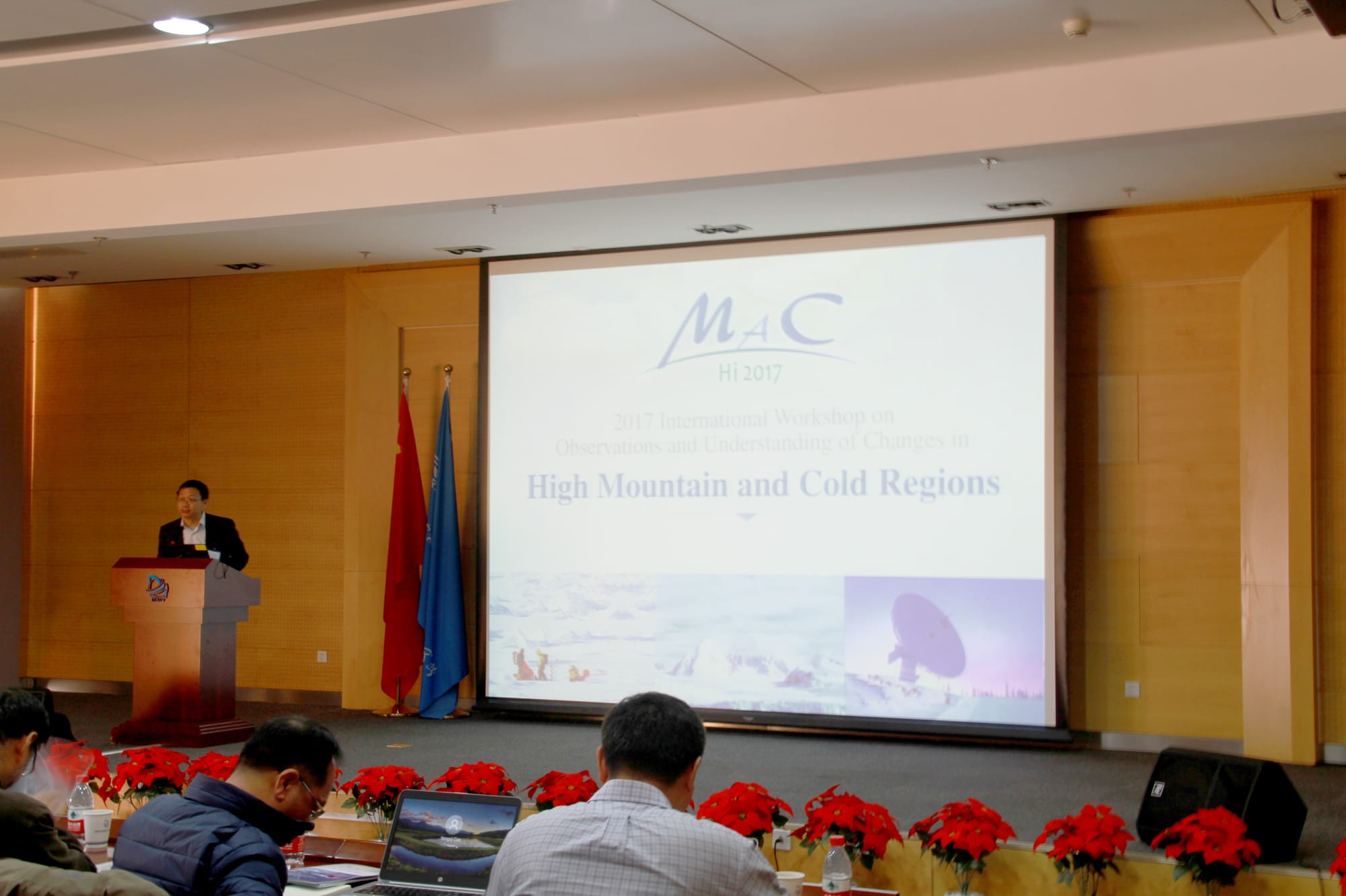
The 1st HiMAC Workshop (HiMAC 2017)
The 1st International Workshop on Observations and Understanding of Changes in High Mountain and Cold Regions Date: 3-4, March 2017 Venue: Institute of Remote Sensing and Digital Earth (RADI), Chinese Academy of Science (CAS), Beijing, China
Background
The Earth-Three-Poles (ETPs), i.e. the Arctic, Antarctic and Tibetan Plateau - the majority of High Mountain cold regions - account for the global stock of frozen water on the Earth. The ETPs are facing the rapid changes of the snow, ice, various consequently undergoing environmental variations. Melting of snow and ice provides fresh water release both in the Polar Oceans and downstm
highland which may influence global climate, alter ecosystem system and create hazards posing major challenges to the nature and human activities. A better characterizing of these changes and understanding the linkages among ETPs would require more accurate and coordinated observations for improving the scientific understanding in such remote and tough areas.
The combined changes in the northern cold regions have an important impact on global climate change and societal benefits, through sea level rise and the albedo feedback. Changes in high mountain frozen water have multiple and complex impacts on human activities, such as large-scale infrastructure, transportation, pipelines and water reservoirs. In many parts of the world, meltwater guarantees water security for growing cities, agriculture, disaster mitigation and hydroelectric power generation. Vulnerability to all such changes needs to be reduced by interventions towards adaption.
Environmental changes in the ETPs cannot be observed and understood in isolation, because of the teleconnections in global climate and socio - economic effects. The recently "Belt and Road" (B&R) initiative proposed by Chinese President Xi Jinping in 2013 emphasizes that countries should work together to develop and share a prosperous "common destiny" by strengthening cooperation,
which provides one of the biggest umbrellas that prompt various international and regional collaborations. In order to ensure the regional sustainable development, it is necessary to observe
multiple variables over a large area across national boundaries. This will further deepen the understanding of environmental changes and provide accurate information through a newly developed information system in high mountain area and northern cold regions.
In recent years, Earth observation developed rapidly, including new permanent observatories, while barriers towards wider sharing of such data are being removed. Much of such improvements are achieved by people and projects integrating resources and efforts towards a richer observation system. In particular, the space borne observation system improvgreatly during the last ten years, data collected by a growing and diversified field of satellites are increasingly accessible, the spatial resolution increased to a sub-meter level and the frequency of observations increased as well.
Taken together the B&R initiative and technical developments provide a good opportunity for global and trans-boundary data sharing and making multi – national cooperation for a shared and better knowledge on ETPs.
Objectives
The workshop is an event in the framework of the international program - “Digital Belt and Road (DBAR)", and Group Earth Observations Cold Region Initiativ (GEO CRI). The workshop will focus on the observations and understanding of t environmental changes in the “Mountains and northern Cold Regions”. The workshop
- Review the scientific motivations of an observation network of High Mountains and northern Cold Regions, promote the integration of in-situ and space observations, and . This is expected to be a better perception of connected changes in High Mountainous and northern Cold Regions, for example, the pan-Arctic region. This will produce a basis for the document of existing knowledge on observation, and scientific understanding of changes that link with the High Mountain and northern cold regions.
- Pave the road to set up the Task Force for High Mountain and Cold Regions (DBAR-HiMAC) under the DBAR program, and which also contribute to the Digital Belt and Road Scientific Alliance of the International Society for Digital Earth (ISDE). (In the morning time of 4 th , March)
- Outline the need for Essential Cold Region Variables (ECRVs) and required preparatory work to support the Group on Earth Observation Cold Region Initiative (GEOCRI). (In the afternoon time of 4 th , March)
Scientific Committee
Chair
- Huadong GUO, Chair of DBAR Science Committee, Institute of Remote Sensing and Digital Earth, Chinese Academic of Science, China
- Barbara RYAN, Secretary Director, Group on Earth Observations(GEO)
- Wenjian ZHANG, Assistant Secretary-General, World Meteorological Organization (WMO)
- Stein SANDVEN, Project leader for EU H2020 INTAROS, Nansen Environmental and Remote Sensing Center, Norway
- Jiancheng SHI, Director of State Key Laboratory of Remote Sensing Science, Institute of Remote Sensing and Digital Earth, Chinese Academic of Science, China
- Massimo MENENTI, Professor, Delft University of Technology, Netherland
- Xin LI, Professor, Northwest Institute of Eco-Environment and Resources, Chinese Academic of Science, China
- Basanta SHRESTHA, Director of Strategic Cooperation, International Centre for Integrated Mountain, Nepal
- Bin CHENG, Senior scientist, Finnish Meteorological Institute, Adjunct professor in the Department of Physics, University of Helsinki, Finland
- Joni KUJANSUU, Research Coordinator East-Asia, Pan-Eurasian Experiment(PEEX), University of Helsinki, Finland
- Changlin WANG, Executive Director, International Society for Digital Earth (ISDE)
- Tsolmon RENCHIN, Professor, National University of Mongolia, Mongolia
- Xiao CHENG, Director, Institute of Polar and Marine Science, Beijing Normal University, China
- Yubao QIU, GEO Cold Region Initiative; RADI/CAS
- Luying ZHANG, Secretariat, Digital Belt and Road (DBAR)
- Vanessa AELLEN, Secretariat, Group on Earth Observations (GEO)
- Zhen LIU, International Society for Digital Earth (ISDE)